06
COOPSTAT NEWS Nº 9
O Sistema de Informação Geográfica
do INE de São Tomé e Príncipe
The GIS from NSI-Sao Tome
and Principe (STP)
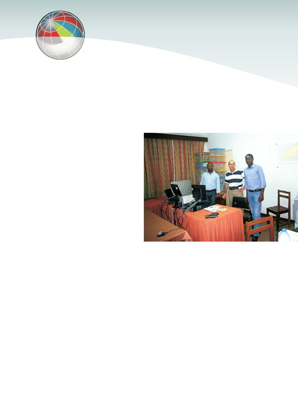
Geoinformation Unit, of the Methodology and
Information Systems Department of Statistics
Portugal, in Lisbon in 2010, with a view to
acquiring an initial training on a set of different
GIS software. In 2012, under the CPLP "Training
Programme of the National Statistical Systems
of the Portuguese-speaking African Countries
and Timor-Leste" a second visit took place,
with two experts from STP participating at the
Workshop on Geo-information. Finally, in
2013, a mission by an expert from Statistics
Portugal was carried out in the NSI of STP.
The geographical database of the census
cartography developed in the framework of
the 2012 Census has the definition
"Geographic Operational Database" (BOG)
and consists of the georeferenced
administrative limits, statistical limits and
census buildings. This base of small statistical
areas, as well as the buildings' geographical
data, is of particular relevance in the process of
dissemination of georeferenced official
statistics. The connection between this set of
geographical data and microdata of buildings,
allows the representation of statistical
georeferenced indicators, according to their
degree of similarity. This is an important
feature, for example to international health
organisations that are active in Sao Tome and
Principe. The dissemination of the
georeferenced census results as a geographic
atlas constitutes one of the major challenges for
NSI-STP. For this purpose, the NSI will have the
support of the African Development Bank.
As cooperation partner Statistics Portugal
welcomes the progress made by NSI-STP in the
field of GIS. With a short learning curve on GIS
technologies (around 2 to 3 years), it was
possible to implement the Census with the
support of a digital geographical database. The
BOG developed by NSI-STP is at present one of
the most important geographical Databases at
the national level, the main component of the
Spatial Data Infrastructure of NSI-STP and surely
a spatial database infrastructure of significant
relevance for the country.
Serviço de Georeferenciação do Departamento
de Metodologia e Sistemas de Informação
Geoinformation Unit of the Methodology
and Information Systems Department


